Stay up to date
Stay up to date
Bricks&Logic is a trading name of Urban Markets Ltd
Company No. 11113204
|
VAT No. GB 287 0845 68
Registered Address: 2 Leman St, London E1 8FA


According to the public record, 43, Crooked Usage is a freehold house.
By comparing it to neighbours, we estimate that it is a early-century house with 1,917 ft2 of internal area and sits on a 492 m2 plot and a garden.
Houses of this size in this area normally have 5 bedrooms.
Based on available information, and assuming reasonable condition, the estimated sale value for 43, Crooked Usage is £834,514 and the estimated rental value is £3,705 per month.
Crooked Usage, London, N3 is located in the borough of Barnet within the N3 postal district.

43, Crooked Usage has 21 entries in the Land Registry , most recently in February 2014 and no records in the EPC database.
We combine this sold price information with public data of neighbouring properties to estimate the attributes and values.
The local information is scored as 2 out of 5 and is considered of medium accuracy.

Decorative condition can have a big effect on a property's value and this effect varies depending on the type, size and location of the property.
If 43, Crooked Usage is in very good condition we estimate a sale value of £876,239 and a rental value of £3,891 per month.
However, if the property needs a lot of cosmetic work we estimate a sale value of £776,098 and a rental value of £3,446 per month.


Over the last 12 months the sale value of 43 Crooked Usage has decreased by an estimated £33,848 (4.1%) and its rental value has increased by an estimated £77 per month (2.1%), giving an expected gross yield of 5.3%.


According to data from HM Land Registry, 43, Crooked Usage sits on a plot of 492m2.
We have plot size data on 14 out of 14 other houses in the postcode and 43, Crooked Usage sits on the 5th largest plot.


According to HM Land Registry, 43, Crooked Usage was last sold on 14th February 2014 for £1,100,000 and was recorded as a freehold house.
The property has had 2 sales since 1995.
Since February 2014, the market for similar properties has dropped 12.6%

According to the Land Registry and our network of Estate Agents, there have been 3 sales of properties similar to 43, Crooked Usage within a radius of 560 metres over the last 2 years.
The most recent example is 57, Tenterden Drive, London, NW4 1EA, a freehold house which sold for £670,000 on the 5th March 2026.
Read more about house prices in N3.
•Nearby is defined as the radius comprising the nearest 2,000 addresses.

Crooked Usage, London, N3 has a total of 41 addresses. According to our analysis of all the public data, 43, Crooked Usage is the 34th largest and the 39th most expensive property on the street.
When compared to the postcode district it is £97k more expensive than the average property in N3.
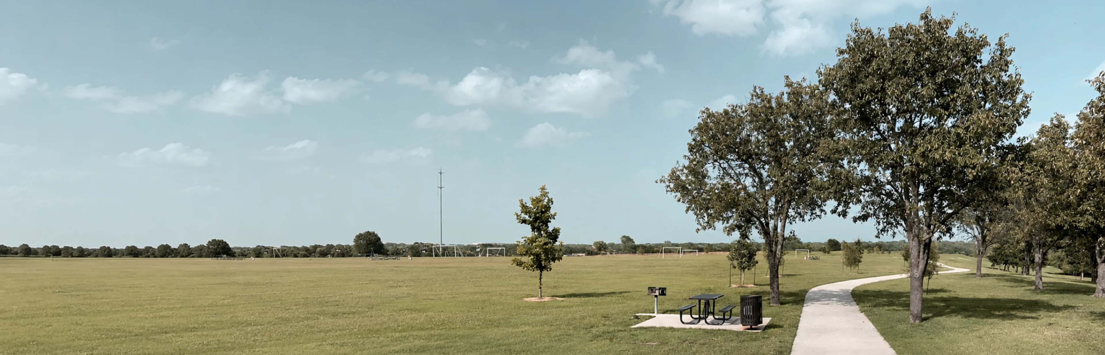
The nearest school is Chalgrove Primary School which is 200 metres away. The nearest train station is Hendon Central which is 1.5 kilometres away.
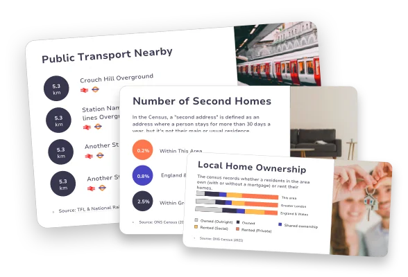
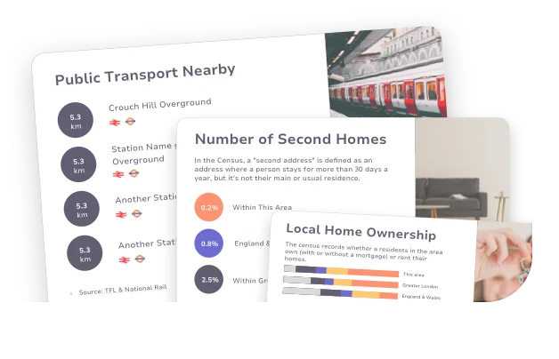
Please login for all schools and rail links, broadband speeds, floodrisk and area demographics information including levels of education, home ownership and more.

Connect me with
an Estate Agent
Our partner Agents appear here!
Book a demo
Find an Estate
Agent