Our Data Sources
Paddock House, Sheffield has 2 entries in the Land Registry , most recently in June 2020 and a single entry in the EPC database dated May 2020.


We combine this information with that of neighbouring properties to estimate the property attributes and values.
The local information is scored as 0 out of 5 and is considered of low accuracy.


Plot Size
Paddock House, Sheffield occupies a 1,064 m2 plot as recorded by HM Land Registry.
Of the 4 other houses in this postcode, 3 have recorded plot sizes, and this one ranks as the 2nd largest.


Energy Efficiency
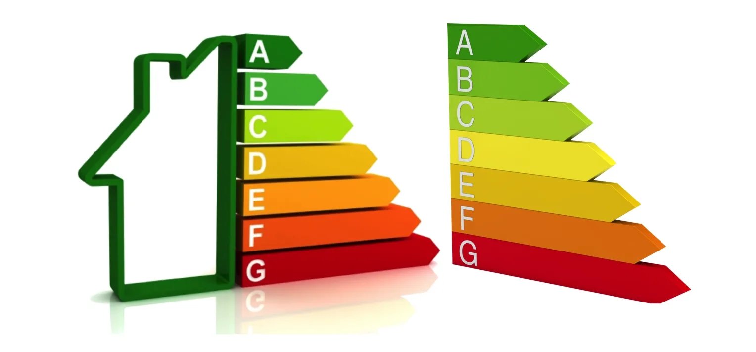
Paddock House, Sheffield has an Energy Performance Rating (EPC) of C. This is based on the most recent assessment, dated 04 May 2020.
The property is not connected to mains gas and has high performance glazing. It is heated using Boiler and underfloor heating, LPG.



Sold Prices
Paddock House, Sheffield last changed hands on 24th June 2020, selling for £850,000. The transaction was logged as a freehold house by HM Land Registry.
In total it has sold twice since 1995.
The market for similar properties has dropped by 10.0% since June 2020.
- Sold Jun 2020£850,000
- Sold Feb 2019£200,000


Properties Sold Nearby
Land Registry records and our Estate Agent network show 793 sales within 2.9 kilometres of Paddock House, Sheffield across the last 2 years.
Most recently, Beech Villa, Wortley Village, Sheffield, S35 7DB, a freehold house, sold at £1,115,000 on the 1st February 2024.
Read more about house prices in S35.
- Sold Feb 2024£1,115,000 | 5 Bed HouseBeech Villa, Wortley Village, Sheffield, S35 7DBBeech Villa, Wortley Village, Sheffield, S35 7DB
- Sold Sep 2020£740,000 | 5 Bed HouseBothy Cottage, The Avenue, Sheffield, S35 7FGBothy Cottage, The Avenue, Sheffield, S35 7FG
- Sold Feb 2019£200,000 | 5 Bed HouseField View, The Avenue, Sheffield, S35 7FGField View, The Avenue, Sheffield, S35 7FG
•Nearby is defined as the radius comprising the nearest 2,000 addresses.
More reading links


Schools Nearby
- Thurgoland Church of England (Voluntary Controlled) Primary School2.6 km away
- Deepcar St John's Church of England Junior School3.3 km away
- Royd Nursery and Infant School3.4 km away
- Stocksbridge High School4.2 km away
- Kirk Balk Academy5.9 km away
- Ecclesfield School6.4 km away
More reading links


Public Transport Nearby
- Silkstone Common|5.1 km away
- Chapeltown (South Yorkshire)|5.7 km away
- Dodworth|5.8 km away


Risk of Flooding
Environment Agency data suggests this area has a Very Low risk of flooding.