97, Thoroughfare, Woodbridge, IP12 1AS
97, Thoroughfare, Woodbridge, IP12 1AS
- Sale Estimate
- £136k - £233k
- Rental Estimate (per month)
- £842 - £1.1k
Accurate value estimates for 97, Thoroughfare, Woodbridge are not possible with the data currently available.
To improve estimates in the area, log in and describe the property accurately.
It is likely, judging by nearby sales and lets, that the sale value falls between £136k and £233k, and the monthly rental value between £842 and £1.1k.
Thoroughfare, Woodbridge, IP12 falls within the IP12 postal district, in the borough of East Suffolk.


Our Data Sources
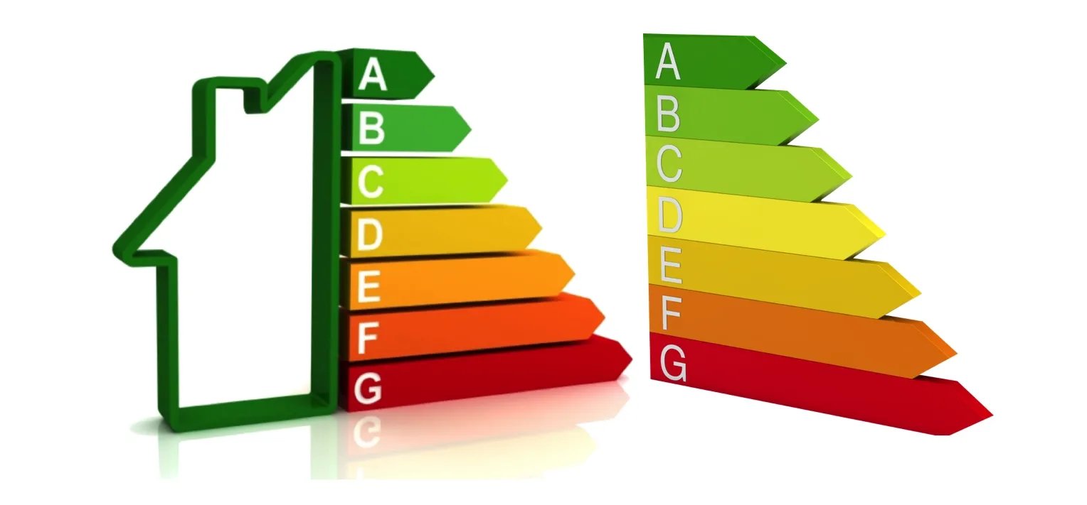
97, Thoroughfare, Woodbridge has no records in either the Land Registry or EPC database.
The local information is scored as 1 out of 5 and is considered of low accuracy.


Recent Market Change
Area-wide, sale values have fallen by 4.0% over the last 12 months, with rental values up 2.6%.

Explore Nearby Properties
The surrounding properties have an average estimated value of £416,813, ranging from £148,307 to £1,396,580.
- 97A Thoroughfare
2 Bed Flat | 0 m | Est. Value: £244,602
- 97B Thoroughfare
3 Bed Flat | 0 m | Est. Value: £242,797
- 97C Thoroughfare
2 Bed Flat | 0 m | Est. Value: £208,436
- 97D Thoroughfare
2 Bed Flat | 0 m | Est. Value: £175,149
- 9 Sun Lane
2 Bed House | 34 m | Est. Value: £272,310


Schools Nearby
- Woodbridge Primary School300 m away
- St Mary's Church of England Primary School, Woodbridge1.0 km away
- Melton Primary School1.2 km away
- Farlingaye High School1.3 km away
- Kesgrave High School6.2 km away
- St Alban's Catholic High School9.0 km away
More reading links


Public Transport Nearby
From 97, Thoroughfare, Woodbridge, the nearest station is Woodbridge, 600 metres away.
- Woodbridge|600 m away
- Melton (Suffolk)|1.5 km away
- Wickham Market|8.1 km away


Available Internet Speeds
Broadband here reaches superfast speeds, based on recent Ofcom data.
According to recent data from Ofcom, Superfast Broadband available in this area.


Risk of Flooding
The flood risk here is rated Very Low, based on Environment Agency data.