Our Data Sources
23, Furness Avenue, Dunstable has no records in the the Land Registry and a single entry in the EPC database dated January 2022.

We combine this information with public data of neighbouring properties to estimate the property attributes and values.
The local information is scored as 0 out of 5 and is considered of low accuracy.


Energy Efficiency
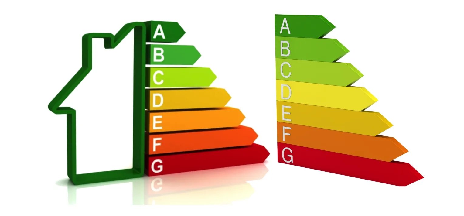
23, Furness Avenue, Dunstable has an Energy Performance Rating (EPC) of C. This is based on the most recent assessment, dated 17 Jan 2022.
The property is connected to mains gas and has fully double glazed windows. It is heated using Boiler and radiators, mains gas.



Properties Sold Nearby
Over the past 2 years 946 properties have sold within 540 metres of 23, Furness Avenue, Dunstable, per the Land Registry and our network of Estate Agents.
The latest, on the 17th July 2020, was 9, Furness Avenue, Dunstable, LU6 3BN, a freehold house which sold for £210,000.
Read more about house prices in LU6.
- Sold Jul 2020£210,000 | 2 Bed House9, Furness Avenue, Dunstable, LU6 3BN9, Furness Avenue, Dunstable, LU6 3BN
- Sold Aug 2012£240,000 | 3 Bed House21, Langdale Close, Dunstable, LU6 3BW21, Langdale Close, Dunstable, LU6 3BW
- Sold Dec 2007£305,000 | 4 Bed House7, Furness Avenue, Dunstable, LU6 3BN7, Furness Avenue, Dunstable, LU6 3BN
•Nearby is defined as the radius comprising the nearest 2,000 addresses.
More reading links


Schools Nearby
- Watling Lower School100 m away
- Ardley Hill Academy300 m away
- Lark Rise Academy600 m away
- Queensbury Academy600 m away
- Manshead Church of England Academy1.6 km away
- All Saints Academy Dunstable2.1 km away
More reading links


Public Transport Nearby
- Leagrave|5.1 km away
- Luton|7.2 km away
- Luton Airport Parkway|8.5 km away


Available Internet Speeds
Broadband here reaches ultrafast speeds, based on recent Ofcom data.
According to recent data from Ofcom, Ultrafast Broadband is available in the area.


Risk of Flooding
The flood risk here is rated Very Low, based on Environment Agency data.