Our Data Sources
Torridon, Preston has no records in the the Land Registry and a single entry in the EPC database dated March 2025.

We combine this information with public data of neighbouring properties to estimate the property attributes and values.
The local information is scored as 1 out of 5 and is considered of low accuracy.


Price Range & Condition
Decorative condition can have a big effect on a property's value and this effect varies depending on the type, size and location of the property.
If Torridon, Preston is in very good condition we estimate a sale value of £148,846 and a rental value of £769 per month.
However, if the property needs a lot of cosmetic work we estimate a sale value of £131,835 and a rental value of £681 per month.




Plot Size
According to data from HM Land Registry, Torridon, Preston sits on a plot of 2,861 m2.
We have plot size data on 12 out of 15 other houses in the postcode and Torridon, Preston sits on the 10th largest plot.


Energy Efficiency
Torridon, Preston has an Energy Performance Rating (EPC) of F. This is based on the most recent assessment, dated 24 Mar 2025.
The property is not connected to mains gas and has fully double glazed windows. It is heated using Boiler and radiators, LPG.


Similar Properties Sold Nearby
According to the Land Registry and our network of Estate Agents, there has been 1 sale of a property similar to Torridon, Preston within a radius of 2.3 kilometres over the last 2 years.
The most recent example is The Bungalow, Moss House Lane, Preston, PR4 3PE, a freehold house which sold for £105,095 on the 31st July 2009.
Read more about house prices in PR4.
•Nearby is defined as the radius comprising the nearest 2,000 addresses.
More reading links


Location Comparison
Moss House Lane, Westby, Preston, PR4 has a total of 15 addresses. According to our analysis of all the public data, Torridon, Preston is the 3rd largest and the 9th most expensive property on the street.
When compared to the postcode district it is £145k less expensive than the average property in PR4.
More reading links


Schools Nearby
- Weeton St Michael's Church of England Voluntary Aided Primary School2.4 km away
- Mereside Primary Academy2.6 km away
- Stanley Primary School3.1 km away
- St George's School A Church of England Academy3.2 km away
- Highfield Leadership Academy4.0 km away
- South Shore Academy5.0 km away
More reading links


Public Transport Nearby
- Moss Side|3.3 km away
- Blackpool South|5.4 km away
- Squires Gate|5.5 km away


Available Internet Speeds
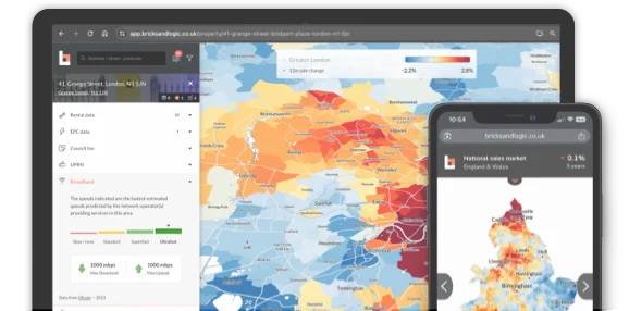
According to recent data from Ofcom, there is poor internet coverage in this area which may result in poor or no internet connectivity.
According to recent data from Ofcom, Slow/none Broadband is available in the area.


Risk of Flooding
According to data from the Environment Agency, the flood risk in this area is considered to be Medium.