Our Data Sources
18, Lissett Grove, Hull has no records in the the Land Registry and a single entry in the EPC database dated November 2024.

We combine this information with public data of neighbouring properties to estimate the property attributes and values.
The local information is scored as 2 out of 5 and is considered of medium accuracy.


Price Range & Condition
In very good condition, we estimate 18, Lissett Grove, Hull would be worth £123,035, with a potential rental value of £815 per month.
If substantial cosmetic improvements are needed, the estimated sale value falls to £108,974, with a rental value of £722 per month.
The extent to which decoration affects a property's value depends on its type, size and location.




Plot Size
18, Lissett Grove, Hull occupies a 283 m2 plot as recorded by HM Land Registry.
Of the 28 other houses in this postcode, 21 have recorded plot sizes, and this one ranks as the 12th largest.


Energy Efficiency
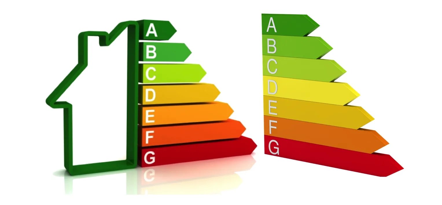
18, Lissett Grove, Hull has an Energy Performance Rating (EPC) of C. This is based on the most recent assessment, dated 28 Nov 2024.
The property is connected to mains gas and has fully double glazed windows. It is heated using Boiler and radiators, mains gas.


Similar Properties Sold Nearby
Land Registry records and our Estate Agent network show 3 sales of comparable properties within 540 metres of 18, Lissett Grove, Hull across the last 2 years.
Most recently, 7, Sutherland Avenue, Hull, HU6 7UG, a freehold house, sold at £111,000 on the 25th March 2025.
Read more about house prices in HU6.
•Nearby is defined as the radius comprising the nearest 2,000 addresses.
More reading links


Location Comparison
Our analysis of the public data ranks 18, Lissett Grove, Hull as the 9th largest and the 7th most expensive of the 30 addresses on Lissett Grove, Hull, HU6.
Against the HU6 postcode district average, it is £16k less expensive than the typical property.
More reading links


Schools Nearby
- 400mEndike Academy
- 400mParkstone Primary School
- 700mLift Green Way
- 300mSirius Academy North
- 800mSt Mary's College Voluntary Catholic Academy
- 1.3kmNewland School for Girls
More reading links


Public Transport Nearby
- 3.0kmCottingham
- 4.4kmHull
- 7.8kmBeverley


Available Internet Speeds
Ofcom's latest figures show ultrafast broadband available in this area.
According to recent data from Ofcom, Ultrafast broadband is available in the area.


Risk of Flooding
Environment Agency data suggests this area has a medium risk of flooding.